GTA 6 Vice City districts on the ATLAS map
Directory of Vice City and Leonida districts that already have landmarks on the ATLAS map, with a guide for each area that has at least 20 plotted places.
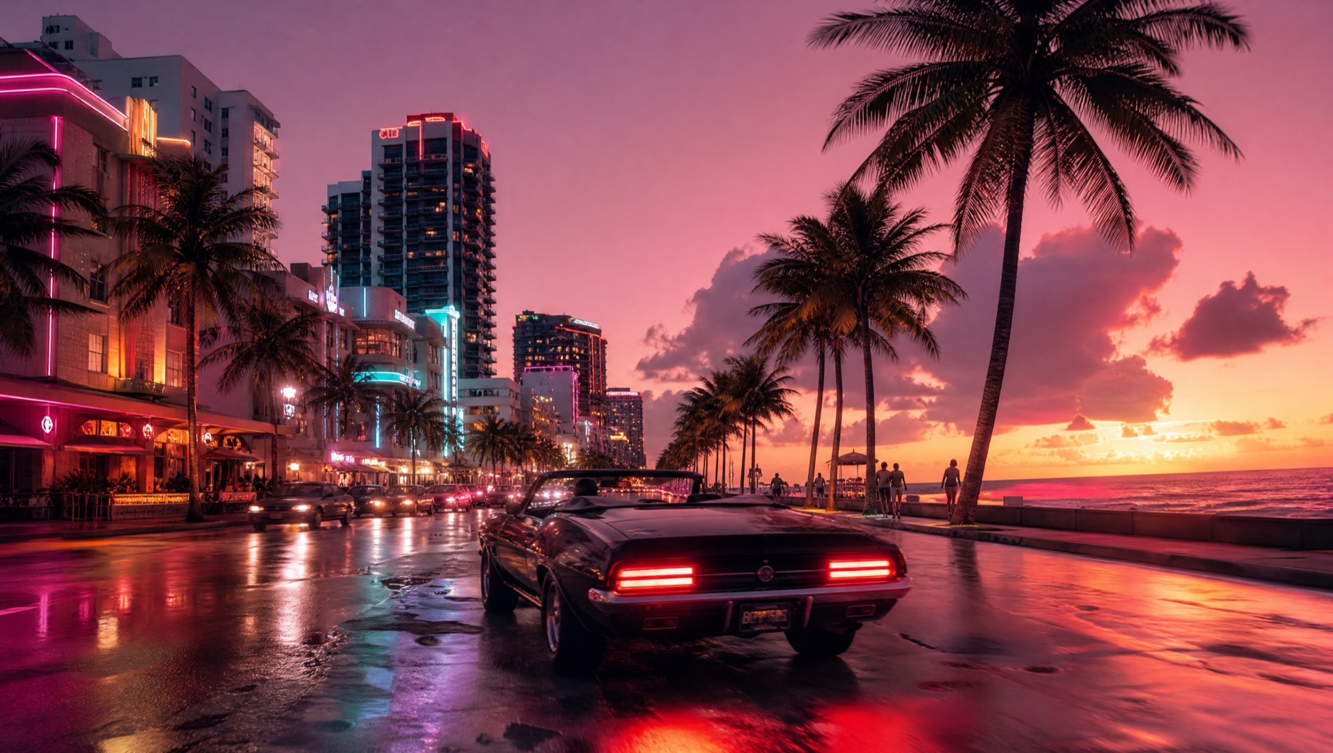
Why districts are separate pages
A single page that lists every beach, county, and downtown block is useless on a phone. Each district guide covers one area: how many places are plotted, a sample of real landmark names, and a link straight back to /map.
Only areas with at least 20 plotted places get a page. Smaller labels stay on the interactive map so we are not shipping empty “coming soon” URLs. Search-intent pages like Vice Beach or Port Gellhorn sit beside those auto district guides and point at the same geography.
How the names work
Fan region labels such as Ocean Beach, Vice Beach, Port Gellhorn, and Key Lento come from the Leonida dataset behind ATLAS. The places inside them are real-world Florida landmarks used as map reference — hotels, marinas, parks, civic buildings.
They are not confirmed in-game businesses or Rockstar collectibles. Open this district on the map when you want to pan and mark. Open the full district guide when you want the denser sample list for that region.
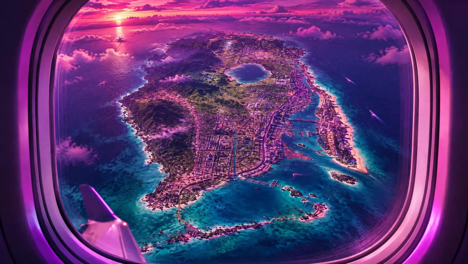
How to use this directory
Start with a district that matches how you play: beach strips first, downtown second, keys and gulf counties when you want the wider Leonida set. Skim density, then mark finds on the companion instead of treating the guide as a completion checklist.
Creators covering a place should link the district guide in the description rather than pasting a raw coordinate dump. Pair with the spoiler-free tracker guide if your audience is still in week one.
Questions
- Which district has the most plotted places?
- Ocean Beach, Vice Beach is the largest set on the current map. Open that district guide for the count and a sample of names.
- Are district places official GTA 6 spots?
- No. They are real-world landmarks plotted as geographic reference. They are not a Rockstar collectible list.
- Why is my favorite label missing?
- Only regions with at least 20 plotted places get a separate guide. Smaller labels still appear on the interactive map.