Peacock Bay on the GTA 6 map
Peacock Bay, Vice City on ATLAS: Dinner Key and Grove Harbour marina geography as reference pins on the bay side of the companion.
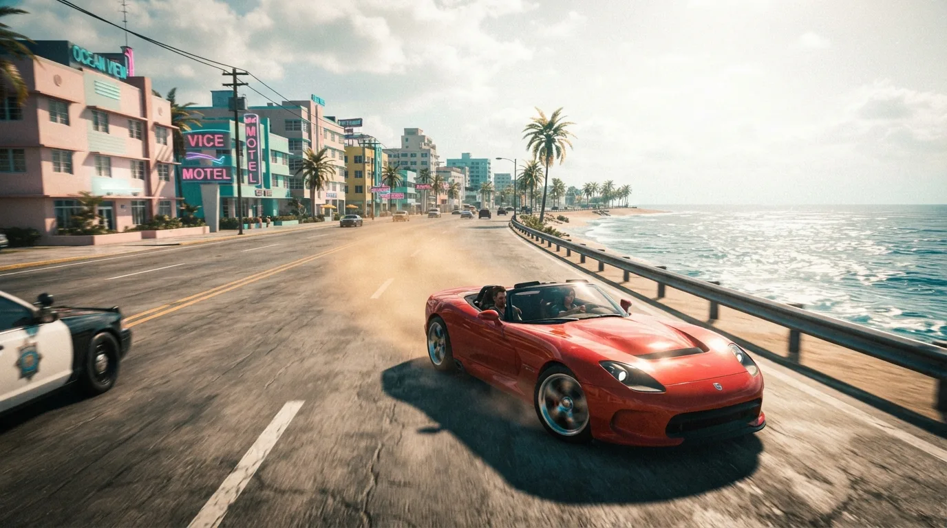
Bay-side Vice City geography
Peacock Bay, Vice City covers a marina-forward set (dozens of pins) on the companion. Real-world context is the Dinner Key and South Bayshore marina edge — water and docks rather than the Collins Avenue hotel wall.
Searchers often want Peacock Bay after hearing the name beside downtown. This page keeps downtown and bay distinct so filters can stay honest.
Places already plotted
Dinner Key Marina at 3400 Pan American Dr and Grove Harbour Marina at 2640 S Bayshore Dr are the clean anchors. Open them on /map to see how the bay edge sits relative to Downtown, Vice City.
Closest-path inside an isolated Peacock Bay filter stays short; mixing downtown nightlife pins mid-route is a different tour — set filters on purpose.
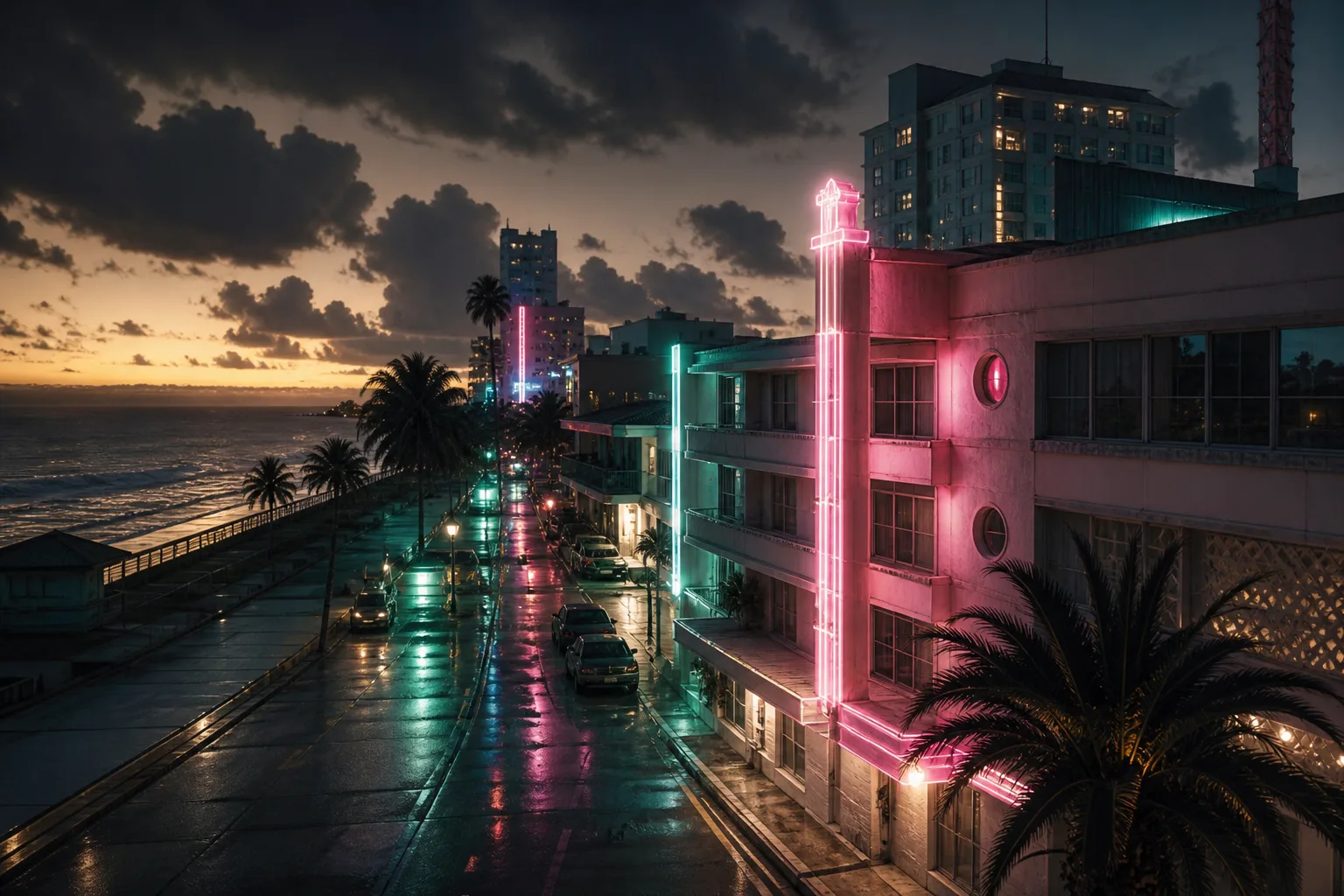
Dinner Key Marina
3400 Pan American Dr — marina landmark as map reference
Grove Harbour Marina
2640 S Bayshore Dr — marina pin on the Peacock Bay set
Open the district
Open this district on the map, then the full district guide. Pair with downtown when you explain urban versus bay edges in a creator video.
Assets props placed on the island are unrelated to these marina pins — props are your originals on /island, not Dinner Key imports.
Questions
- Is Peacock Bay downtown?
- No. It is a separate district label focused on bay / marina geography. Downtown, Vice City is its own guide.
- Are the marinas in the game?
- They are plotted as real-world reference. That is not official confirmation of in-game businesses.
- Where is the full guide?
- At /guides/vice-city-map-peacock-bay-vice-city.