GTA 6 interactive map: how to use the Vice City companion
A fan-made Leonida and Vice City map for before and after the November 19, 2026 launch: how island and main views work, how spoiler-free marking works, and what the pins actually are.

What this map is (and is not)
Vice City Studio’s interactive map is a fan-made companion for Grand Theft Auto VI. It plots real Leonida and Vice City geography so you can learn the coastline, district names, and major landmarks before November 19, 2026 — and keep using the same board after launch to mark what you have already seen.
It is not an official Rockstar Games product, and it is not affiliated with Take-Two. Nothing on the map should be read as a leak, a confirmed in-game business list, or a Rockstar collectible checklist. The pins are geographic reference points: beaches, downtown blocks, keys, and counties drawn from a Leonida dataset so the pre-launch map has a real shape instead of a blank island.
That honesty matters for search and for play. A lot of “GTA 6 map” pages invent complete lists of statues, cards, or shop names months before the game ships. This companion does not. When Rockstar’s own content is out, the tracker is still useful — as a place you control, not as a spoiler dump. If you need a phone wallpaper or a thumbnail, those live in separate tools; the map’s job is geography and progress.
Who it is for
If you want to know where Ocean Beach sits relative to Downtown Vice City, or how Port Gellhorn relates to the Keys, this map is for you. It is also for players who will mark progress privately once the game is out, without opening a full location blog on day one.
Creators can use it as a shared reference when a video is about a place: link a district guide instead of pasting a raw coordinate list. Casual fans who only want the countdown and wallpapers can ignore it; the tools on the site are separate, and the map does not require the game to be installed.
Founders and waitlist readers who saw “Map Companion” on the homepage are looking at the same idea sold in Scout and Pro language: mark finds, plan a short route, keep spoilers masked until you choose otherwise. The live boards you actually pan are /map, /island, and /map2 — the companion marketing page is the early-access door, not a second secret atlas.
How to use the map
Open the map, pan and zoom, and turn on the districts or layers you care about. Search when you already know a name; explore when you do not. When you have actually been somewhere — in the real-world sense of studying the map, or later in-game — mark that place as found. Progress stays on your device so a refresh does not wipe the list.
Start small. Pick one district, skim its guide only for density and names, then switch back to the map. The guides on this site describe the companion dataset; they do not walk through missions or puzzle solutions. Filters exist so you are not forced to stare at every pin at once.
If a region already has a district page, use that page as a density check, then return to the interactive board to mark. If it does not, the place still belongs on the map — we only publish separate district URLs when an area already has enough plotted landmarks to justify a page.
Island view versus the main map
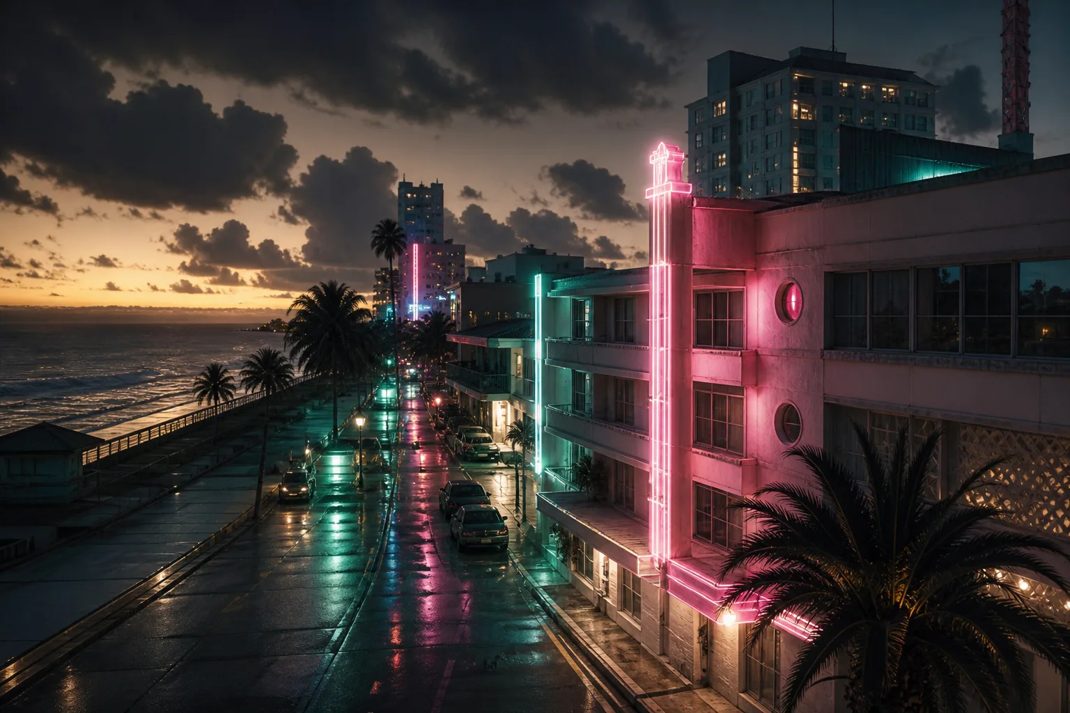
Vice City Studio ships related views rather than one blank canvas. The island view is the gold studio map — the cinematic board you see in marketing and on the homepage hero. Use it when you want the shaped ATLAS look and a focused pass over the core island. Props you build in Assets Generator can also sit here as your own pins.
The wider Leonida map is better when you are comparing counties, scanning a larger coastline, or jumping between areas that sit farther apart. There is also an embedded ATLAS companion route for the full interactive board. All of them share the same idea: geographic landmarks as reference, your own found marks as progress.
None of them is a substitute for Rockstar’s in-game pause map once GTA 6 is in your hands; they are companions around it. Spoiler-masked solution cards are part of the island experience; the wider Leonida board leans on landmark descriptions and found-state without pretending every pin is a puzzle card.

Standout features
Mark as found. Every pin can be toggled found on your device. That is the core loop after launch: clear a place when you reach it, keep the rest of the island quiet until you are ready. The mark is yours — not a public completion feed.
Closest-path routes. When you stack stops, the companion can order a short path across them, with a stop cap so a route stays usable on a phone. It is a planner for landmarks you already care about — not a mission walkthrough and not a claim that Rockstar’s world uses the same pathing.
District meters and isolate. Zones show how much of that district you have marked, and you can isolate one zone so the rest of the map gets out of the way while you finish a neighborhood. Completion percentages here mean “of the companion set,” not “of the official game list.”
Spoiler-masked cards on the island board. On the gold island map, solution-style cards stay blurred until you choose Reveal. That is deliberate: the write-ups on this site never replace that control with a full dump of answers.
Search, filters, and local progress. Category toggles and search keep dense areas readable. Found marks persist in the browser; optional signed-in sync exists for people who want the same list across devices without pasting a spreadsheet.
District guides that stay thin on purpose. Each district page lists a sample of plotted names and a count — enough to judge density, not enough to spoil a completion run before you open the map.
Spoiler-free marking
Most location blogs fail the first week of a new GTA by publishing every pin in one scroll. That is fine after you have finished an area. It is a bad default when you still want to find things yourself.
The companion separates the tool from the write-up. You mark a place only when you open it or clear it. District pages name a sample of landmarks so you can tell how dense an area is — not so you can complete a fake checklist before launch.
After November 19, 2026, keep that habit: one district at a time, mark what you reached, come back when you want the next area rather than the answer to a puzzle. If you are watching a creator’s map video, pause before they zoom to a reward and mark your own finds first — the companion is built for that pace.
Before launch and after
Before launch, use the map to learn names and layout. Pair it with the district directory if you want a short list of areas that already have enough plotted places for their own pages. Join the waitlist if you want a note when the companion updates; ignore any site that claims a full official collectible list this early.
After launch, the same board is where you track finds without dumping the whole island on one screen. Collectible types, prices, and mission order will not be complete on day one anywhere honest — including here. What you can have ready is a map you already know how to filter, and a marking habit that does not spoil the story for you.
When Rockstar publishes real in-game categories, expect the companion to grow carefully rather than overnight. Until then, treat every pin as geography you chose to care about — beaches, downtown blocks, keys — and leave invented statue lists to less careful pages.

Questions
- Is this the official GTA 6 map?
- No. Vice City Studio’s map is an unofficial, fan-made companion. It is not affiliated with Rockstar Games or Take-Two Interactive.
- Are the landmarks confirmed in-game locations?
- No. Pins are real-world geographic reference points used so the pre-launch map has a real coastline and street names. They are not a Rockstar collectible or business list.
- Will the map spoil the story?
- The tracker is built so you only reveal places you choose to open. District guides describe map data and sample landmark names, not mission solutions.